Skip to content
Skip to navigation
Your account
Your account
Menu
Search Bristol Harbour
Search
Home
About
Arriving and departing
Moorings and facilities
Licences
Safety
Leisure
Environment
Arriving and departing from Bristol Harbour
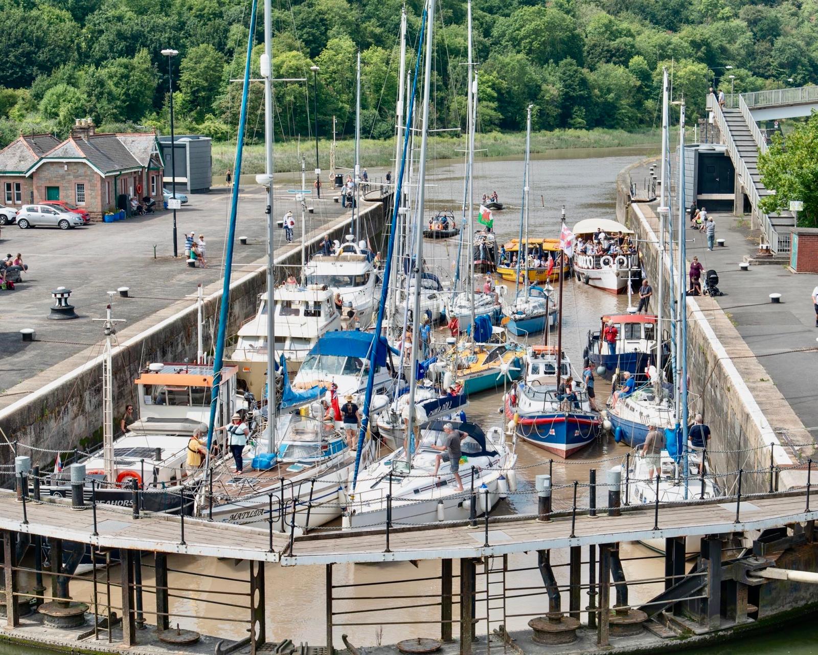
Entering the harbour from Cumberland Basin
Leaving the harbour from Cumberland Basin
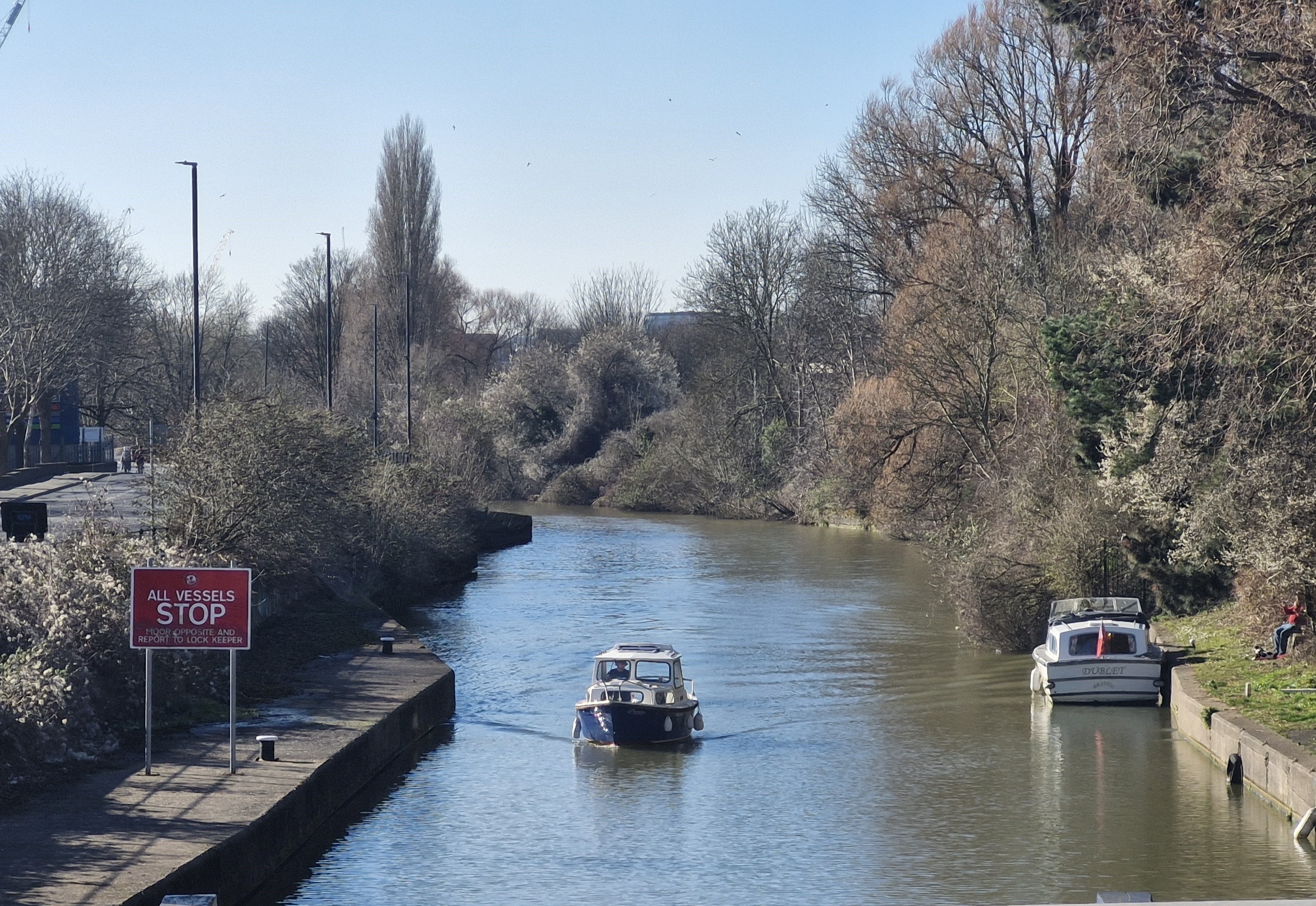
Entering and leaving the harbour from Netham Lock
Navigating around the harbour
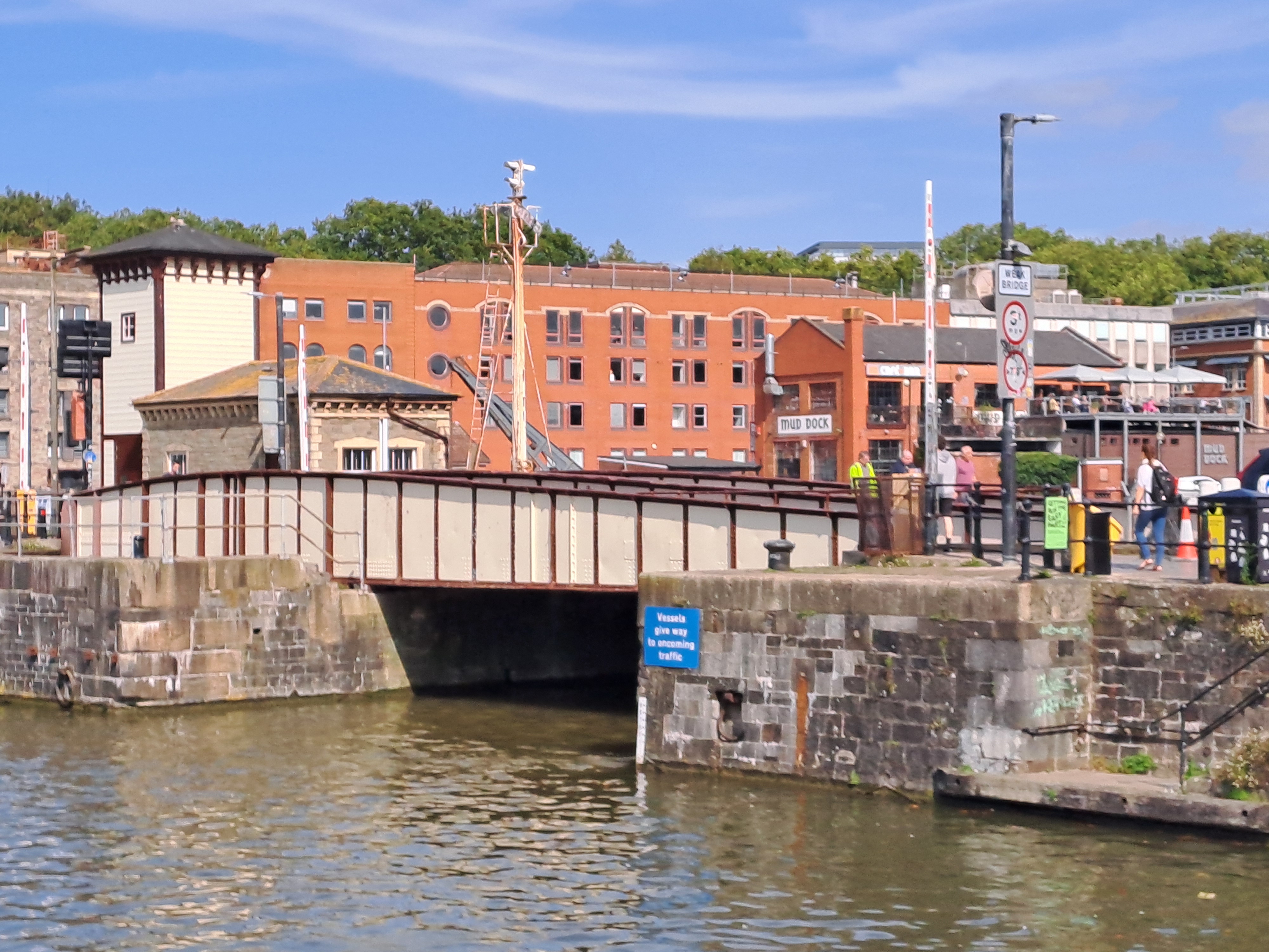
Bridges in the harbour
Sail Bristol app