
Harbour times, bridges, speed limits, powered vessels, depth and dredgers, craft restrictions and events
Harbour times and navigation lights
Bristol Harbour is open for navigation, day and night. Netham Lock at the far end of the Feeder Canal is closed at night.
If you're navigating after dusk, your craft must display a navigation light. If you don't display this light, your licence will be revoked.
Navigating through bridges
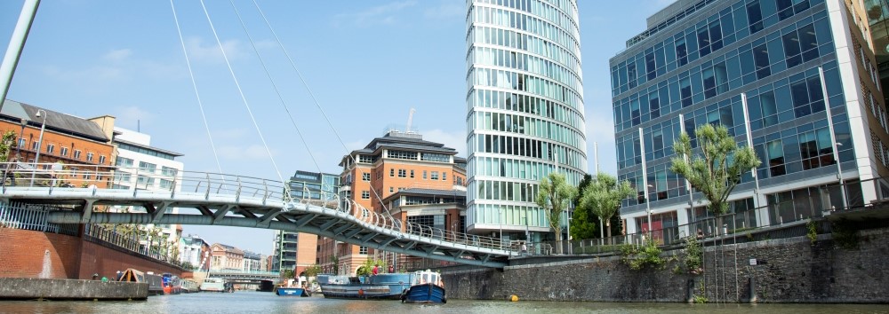
There are a number of bridges in and around the harbour. Our guide to Bristol Harbour bridges includes clearance levels and swing bridge information
Speed limits
The speed limit in the harbour is 5.2 knots (6mph) and 3.5 knots (4mph) in the upper River Avon and Feeder Canal.
If you need to travel faster than this you must contact us for special permission.
Powered vessels
Powered vessels should hold a steady course and slow speed when passing pleasure craft moorings, sailing dinghies, canoes or rowing boats etc. You shouldn't be going so fast as to cause a breaking wave.
Harbour depth and dredgers
The charted depth of the harbour may be reduced through silting and caution should be taken.
Dredgers display the signals show in the Collision Regulations.
Don't pass on the side of a dredging vessel on which is displayed two black balls or two red lights in vertical line. Vessels should proceed on the side of two green lights or two diamonds in vertical line.
Craft restrictions
Vessels with tall masts may go as far as Redcliffe Bridge, subject to bridge movement and depth of water, some 2.5km from Cumberland Basin. Prince Street Swingbridge is passed on the way.
If your vessel is over 24 metres in length and you want to move in the harbour then you must tell us and get a harbour escort craft. Fees may apply.
Report a collision
If you collide, or have a near miss with another vessel, you'll need to contact us and complete our document report a collision form(25 KB) .
Events and navigation
Yellow marker buoys are often used to mark an area being used for a special purpose or events. You should see our Events in Bristol Harbour page for further information.
You should be careful when passing any water sport training groups.
Model boats are used in the harbour and are required to keep clear of all other vessels. The white buoys, which are sometimes in use, have no significance to other vessels.
Harbour byelaws
Navigation is subject to the Collision Regulations and pdf byelaws made under the Bristol Docks Acts(100 KB) and any amendments.
The whole of Bristol Harbour should be regarded as a narrow channel.